An Aymaran legend has it that Mururata wanted to exceed Illimani, his neighbor, in height which irritated Illimani enough that Illimani chopped off Mururata's head. Mururata's head was named Sajama and was so ill-tempered that the other mountains banished him to the west away from the other mountains. Sajama now stands near the Chilean border and is the highest point in Bolivia at about 6,400 meters.
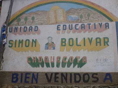
The large glacier on Mururata has relatively few crevasses so it is a good place to ski. There is a road that goes fairly close to the lower edge of the glacier and Aimee and I decided to ride our bikes up it. Getting started at around 12,000' near the tiny village of Ventilla:
Looking up the valley:
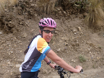
Happy camper so far:
There is a fair amount of cultivation in the lower part of the valley:
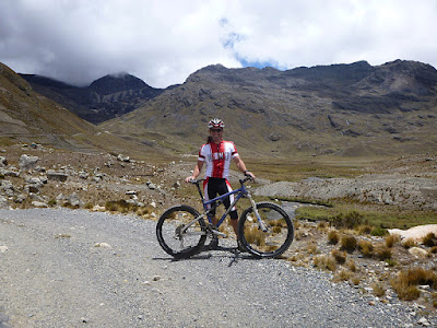
The road is quite good but steep in parts. The altitude doesn't make it any easier:
Here's the church and cemetery just outside of the village:
Once past the village, the valley started to open up:
You can clearly see the long term effect of the agricultural practices on the landscape:
Bolivia is for climbers. Up, up, and more up:
The view down the valley:
Some clouds building on the higher peaks:
Taking a rest where the road to Mina San Francisco and Mururata diverge:
We rode towards Mina San Francisco first. Here is where a famous Incan trail trek, the Takesi Trek, begins:
The clouds in the mountains here are fantastic:
Paper, scissors, rock? Definitely, rock:
You can see the road to Mururata across the valley from the road to Mina San Francisco:
Just above where the Takesi Trek begins, the road and a nearby stream began to merge:
It only got worse above:
Very near the end of the road, this trail went off to the left. I think it is the Hampaturi Trail but I am not sure. It did not look rideable but I didn't look closely:
The end of the road at the abandoned San Francisco mine. You can see some of the mine buildings if you click the photo to enlarge it:
After turning around, I enjoyed the downhill ride back to the Mururata road. Heading uphill again:
Blooming from the recent rains:
This is a typical highland dwelling for llama, sheep and cow herders:
Here is where I turned around. There is still some rideable road ahead but . . .
. . . Aimee was ready to go.
This ride was really fun and I'll certainly do it again some time.
On the way home, we visited the spectacular Palca Canyon. I'll do a separate post about that experience.
Ride stats:
Start: 12,010'
High Point: 14,300'
Total Elevation Gain: 2,637'
Distance: 9 miles
Riding Time: 1:54


No comments:
Post a Comment