Monday, March 19, 2012

Not Bad for a Half Day Lift Ticket

The weather forecast once again promised clear skies in the mountains so I planned a trip with Roberto for more skiing.  We were ambivalent about where to go and, in the end, decided to head up to Serkhe Khollu in the Hampaturi where we had made a first ascent of an ice climb last October.  I had three free days so we thought we'd make an extended trip and ski a few peaks in the area.

Aimee is training for the Lima marathon in May so she wanted to do a 13-mile run in the morning before we left.  She asked me to go with her to Lima so I am going to do the half marathon.  I am sure I will have more to say about that goat rope later.  

Anyway, we had to go to Roberto's house to get his stuff, stop for gas and then at a grocery store for food plus a new chip for Roberto's phone.  We managed to roll out of La Paz at noon.  Within an hour, we were heading up the valley into the heart of the Hampaturi:  


Although it was already two o'clock by the time we reached the end of the road, we decided to see if we could find some snow and make a few turns before dark.  Roberto and Serkhe Khollu:


We decide to check out a peak across the valley from Serkhe Khollu and, as we gain height, Lake Titicaca comes into view:


Nice light and clouds on Huyani Potosi:


Roberto with the starts of two of his first ascents on Serkhe Khollu in the background:


We reach the summit of this unnamed peak, which is about 17,700' tall, as the sun abruptly leaves our heretofore pleasantly soft snowfield:


It was cool to reach the summit but it cost us the best conditions for the descent as the surface turned immediately to crust in the shade.  Serkhe Khollu has at least one obvious unclimbed line remaining.  The ice climb Roberto and I did in October on the left side of the obvious seracs is completely gone but you can see the new route possibility dropping straight down from the right side of the summit:


I ski down in somewhat disappointing conditions considering what they were like as we ascended and watch Roberto:


I get distracted by the scenery:


It seems like I see Tiquimani everywhere I go:


Here comes Roberto:


These slabs probably look better than they are for climbing as most of the rock in this areas seems to be some type of shale:


Huyani Potosi in the twilight:


My style is admittedly somewhat unorthodox:


Roberto slips on some mud and breaks his ski pole which prompts us to give our unnamed peak the unofficial title of Serkhe Fuku.  Our line went down the left side from the summit:


Milking the last of the daylight:


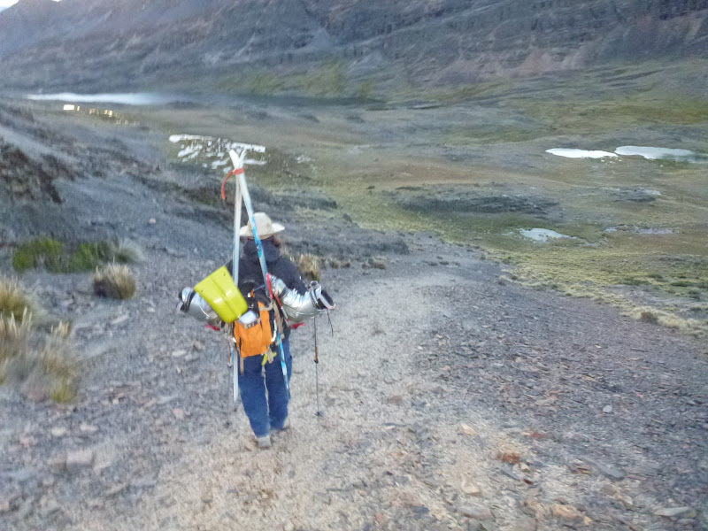
We get back to the car at very last light.  Those ancient boots Roberto is using are genuine hand me downs from Lowell Skoog:


We decide to go back to La Paz and rest at the oxygen rich 11,000' level and then leave for another destination after a good night sleep.  For a minute, we thought the locals, who are developing two mines in the area and who take an intense, but friendly, interest in visitors, had locked us in because we had told them we were staying overnight but it turned out that the gate wasn't really locked:


Or we could have wound up like this fellow:


We set the controls for La Paz and slowly made our way down the braided tracks out of the Hampaturi:


Not bad for a half day's work.

Sunday, March 11, 2012

Mururata

Skiing in Bolivia usually involves a lot more walking than actually skiing because snow rarely accumulates below about 16,000' and, with very few exceptions, the roads don't go above 15,000' and don't necessarily go near the skiable terrain anyway.  

Also, there's not a single working ski lift in the whole country.  The old cable tow at Chacaltaya hangs uselessly above the melted glacier.  Finally, the rainy season weather that brings sufficient snow to the mountains often lingers, making conditions miserable to unskiable depending on visibility.  So when mountain-forecast.com promised two days of totally clear weather for Friday and Saturday, we set out for Mururata, an 19,300' peak in the Cordillera Real, very optimistic about the weather.

But first we had to pass the canine gangs of La Paz.  This dog posse looks distinctly upscale compared to the typical mutts.  Perhaps they are perros cocaricos?:


Just outside of La Paz is this mountain bikers' paradise, looking much greener than usual.  A dirt road runs along the ridge and many single track trails descend into the valley (and also toward the other side) which drops a few more thousand feet below this photo:


Getting a peek at the Hampaturi.  The Hampaturi is the closest subrange of the Cordillera Real to La Paz but large parts of it are surprisingly inaccessible.  I think this mountain might be Hati Khollu (about 18,000') but I'm not sure:


Choquecota, the last village heading up the valley toward Mururata and also toward the Takesi Trek:


An unnamed peak rising above Mina San Francisco:


The Mururata glacier is visible, albeit partially obscured by clouds, to the right of the rocky peak:


Another peak catching the late afternoon sun:


I have to shut the cattle gate:


Although I did not know it when I took this shot, our descent would take us down the sun/shadow line in this photo:


The rock seems like some type of slate but is reasonably sound in places with some climbing possibilities up to 300 meters or so:


A gathering of condors in the fading light:


We drove well above the normal start to the Mururata climb by following a road that is marginal even by Bolivian standards:

We thought we could reach the glacier easily by hiking to the head of the valley.  It turned out that we could reach the glacier but it wasn't as easy as we hoped.

Last light from our camping site:


I managed to forget my tent and sleeping bag in the rush to leave La Paz.  Roberto had a spare blanket for me and I was quite warm and comfortable in my belay jacket in the cooking tent, even though I got very little sleep.

Roberto getting ready at first light:


Roberto and our camp:


We gain elevation quickly:


When the sun hit the slopes above us, stones began to fall in an unpleasant manner.  We actually had a sort of race against the rising sun and, generally, were able to stay ahead of the worst of the rockfall.  The angle rose to where falling would be bad and, then, to where falling became unthinkable.  There were several passages of easy 5th class rock and longer bits of steep snow with ample exposure.  Interesting stuff in telemark boots.

Roberto takes a break at a flat sheltered area between the steeper sections:


We were uncertain about whether we would hit the glacier and what we would find if we did.  I was quite excited when we reached a small bowl and saw this view:


We finally put on our skis and shuffled up the snowy goodness.  The bump on the ridge is not the summit.  The summit is far along another almost flat ridge that heads away from the bump out of sight in this photo:


Starting to get a little cloud build up:


As we rose, the clouds started to close around us.  I was totally uninterested in another whiteout adventure after our experience skiing Charquini a few weeks ago so I told Roberto that I thought we should go down.  I preferred to ski half of our intended line in good visibility rather than push on and fumble around in impenetrable whiteness on an unfamiliar glacier.  Reluctantly, he agreed.  I was weak, Roberto was strong, but, as it turned out, the weather was even stronger.

Roberto getting ready to descend:


Sweet glacier slope in buttery conditions:


Roberto near the bottom of our run:


What's that you say?  It doesn't look stormy?  Just wait:


The condors made another appearance:


The normal descent follows the bench on the right from the top of the waterfall and doesn't enter the canyon below the waterfall at all:


The regular descent would put us many miles from our car so we opted to try a more direct descent following the stream downhill.  At first, the going was fairly easy with moraine mud as the only problem:


Before long, the stream plunged through a narrow slot and fell several hundred feet to more cliffs below.  There was no obvious way around and the thought of retracing our steps to the upper bench was thoroughly depressing as I was suffering pretty badly from fatigue and the altitude.

Roberto scouts for a way down:


Long story short, we descended hundreds of feet of exposed, scary, steep, and loose shale.  There were several passages of real 5th class down climbing and most of the way was so exposed that a fall would have proven fatal.  I wouldn't choose to do it again, at least not in ski boots.

Oh, and it started to snow.  Roberto looks happy to get to the bottom of the cliff bands as the snow falls harder:


Glad to return to firm, if somewhat soggy, ground:


Here's our 100% mountain-forecast predicted clear weather at around 15,000':


No doubt the conditions on the glacier at 17,000' and above would have prevented anything like enjoyable skiing so I'm glad we got what we got even though not reaching the summit was a big disappointment.  It's hard trying to climb mountains during the rainy season in Bolivia but it's great to have the chance to try.

Bolivian mountain bummer, but it's nothing that a little Pacena won't fix:


Next time, I think we will opt for the normal route.  Our route was a fun adventure into the unknown but had some drawbacks, like scary down climbing and exposure to rockfall on the way up.  The normal route is a much longer walk to the glacier but it is just walking and doesn't look too steep compared to the more taxing climbing we found on our route.  Also, the return trip via the regular route is definitely preferable to returning to where we parked.  Hopefully, I will get to find out about the regular route in the next week or two.