We spent seven hours on the trail but we stopped for many photo breaks and one of our group really does not like running downhill or on rocks. There is enough downhill and rocks to satisfy most people who like that sort of thing. An acclimatized person who enjoys running downhill on moderately technical terrain would probably do it much faster.
Here's a few photos of our day:


The first stretch of Incan stonework is before the pass. It is probably at some risk of destruction if the mine at the pass becomes more productive and a road for motorized vehicles is made:

We spent a fair amount of our time hiking on the 45 minute climb to the pass:

But then the downhill began:


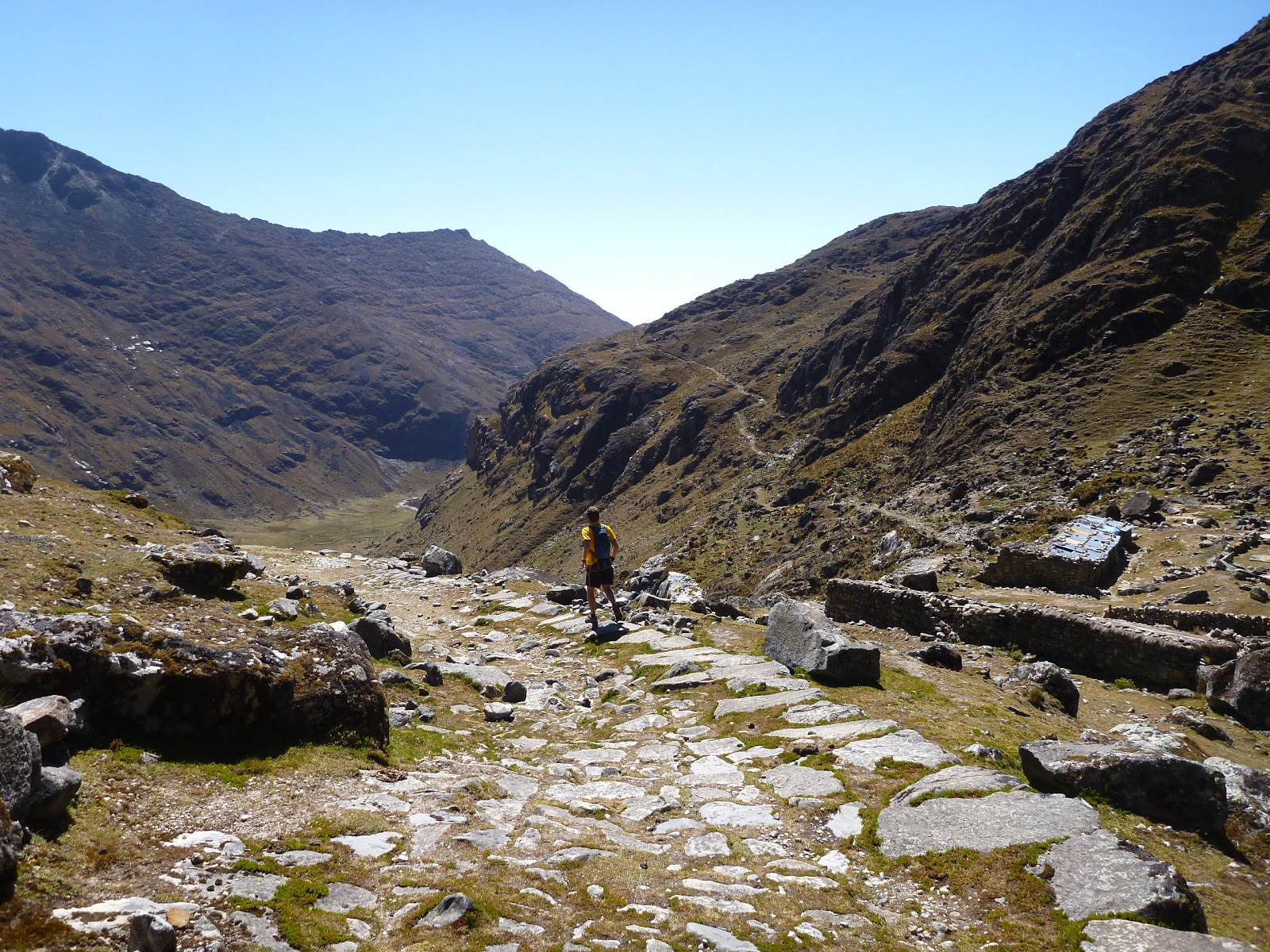
Although there was some up, too:


Only this path serves the village of Takesi:

Kevin wants to run each of the most famous Incan trails this winter in Bolivia. Takesi is probably the easiest:

Fresh llama jerky is way tastier than gu:


Taking time to play on the rocks:

The vegetation slowly grows more lush:


We crossed a burnt area. Not sure if it was a natural fire or an area burnt for future cultivation.


There were a few switchbacks along the way:

I was surprised to see this dam which serves the large tin, tungsten and silver mine far below:


One of the very few buildings along the trail:


As we get lower, the plants becomes much more tropical even though we are still round 9,000' here:

That bridge is totally bomber which is why I asked Aimee to go first:

Kind of a lot of uphill for a trail with a net 8,000' drop:

I really enjoyed this section of trail with its smooth surface but it's not representative of the trail which is mostly rocky but still well within the fun zone for trail running:


This river has probably never had a descent in a kayak. This is the dry season but the wet season would surely fill it with water:

I would guess there is a good 4,000' descent of prime creek boating between granite boulders on this stretch. The downstream view:


It was a real treat to have plenty of oxygen at 8,000' even if our legs were fried:

Looking back up at Mururata:

At last:

Aimee had some issues with blisters:

Cheers:

The drive home on the South Yungas Road was scary and tedious at the same time because of the many busses and trucks traveling to Chulumani on Friday night at great speed along the one lane dirt road but we made it home in one piece.


